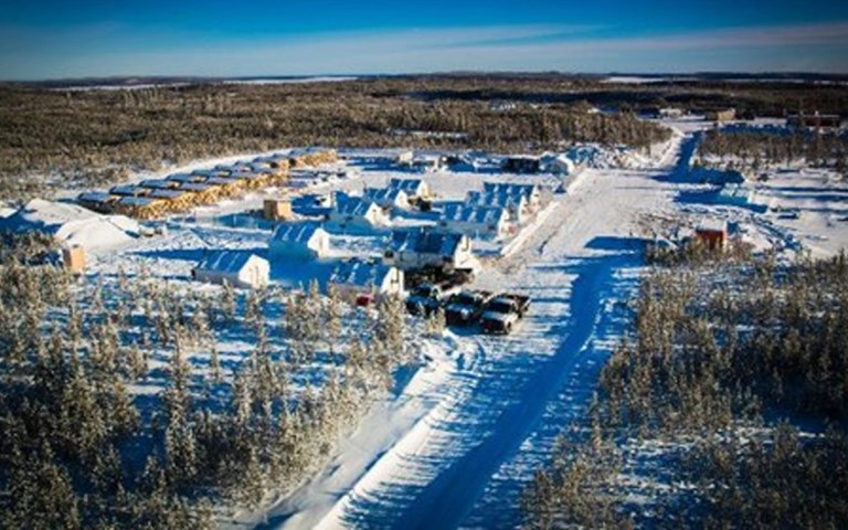
Patterson Lake South is considered the most important uranium discovery in the Athabasca basin in several years | Courtesy of Fission Uranium
An invention called the “System and Method for Aerial Surveying or Mapping of Radioactive Deposits,” clearly delineated a uranium-rich boulder field on the Patterson Lake South (PLS) project in October 2009. Devised by Fission Uranium and partner Special Projects Inc. (SPI), the technology is an adaptation of traditional airborne radiometric techniques and designed to identify radioactive boulders. This anomaly would eventually lead joint venture partners Fission (then Fission Energy) and Alpha Minerals (then ESO uranium) to a high-grade bedrock source that is considered the most important uranium discovery in Saskatchewan’s Athabasca basin in several years.
“We’d already used the technology to pick up known boulders on our other properties on the east side of the basin and could see individual anomalies with pinpoint accuracy,” said Fission’s president and COO Ross McElroy, from Hong Kong, where he was attending the Mines and Money conference. “So we thought the technique would be a good approach at PLS because the mineralization model suggested that anything that we might have should come to surface.”
Fission and Calgary-based SPI have applied for a patent on the technique, which McElroy said is “the difference between looking through wax paper and a wineglass,” when compared with similar systems.
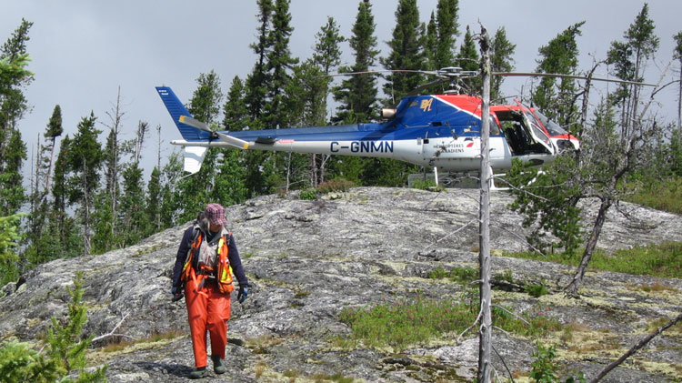
Traditional airborne techniques to explore for radioactive minerals generally involve flying a fixed-wing aircraft equipped with large detectors at relatively high altitudes and speeds. They do not pick up localized discrete occurrences such as boulders because the footprint of measurement is so large and the background-to-boulder signature ratio too low. Older systems also lack the navigation and data acquisition tools needed to pinpoint radioactivity.
Though limited to near surface exploration, the Fission/SPI invention is more sensitive because the aircraft flies at the optimal height and speed to detect localized radioactivity. Powerful data processing capabilities within the fuselage map the resulting data, identifying and flagging high-priority points in real time.
“There’s a bit of nuclear science, combined with physics, electronics and software development involved,” said Kaj Hedin, founder and president of SPI. “It’s a complex method,” one he is reluctant to elaborate on because the patent is still pending.
Retro philosophy
New technology aside, the exploration program conceived by the former joint venture partners (Fission acquired Alpha for $185 million last year) was in some ways a throwback to an era when prospecting played a key role in finding new deposits.
At the time of the discovery, the reigning dogma in the Athabasca camp was that all of the shallow deposits had been found. It was believed that most of the remaining potential was in the east, and that any new discoveries would be deep and well within the margins of the basin: a 100,000-square-kilometre sandstone-capped area that supplies about 20 per cent of the world’s uranium.
But McElroy and his team knew that the favourable basement geology extends beyond the edges of the basin and were unwilling to accept that just because none of the majors were looking there was nothing to find. They became increasingly intrigued by an area on the southwestern margin of the basin that lay along a major structural corridor of faults and conductors associated with the Cluff Lake and Shea Creek uranium mines. At Patterson Lake, the trend was coincident with the Clearwater domain, a major geophysically identified feature that may be associated with uranium in the basin.
Acting on a hunch that the area could contain near-surface uranium mineralization, Fission staked a few claims south of the basin margin, partly because of the prospective geology and also because a road through the property provided easy access for exploration.
At the same time, Alpha Minerals was honing in on the area, staking claims after finding a CanOXY (now Nexen) report from the 1970s in the Saskatchewan assessment files that cited radioactive anomalies near Patterson Lake. The two companies combined their land holdings under a 50:50 joint venture in 2008.
From Ekati to Athabasca
Having merged their claims, the partners needed a way to identify drill targets. McElroy and Ray Ashley, Fission’s vice-president of exploration, had met Hedin when they worked in the diamond exploration camps of the Northwest Territories: McElroy and Ashley for BHP Billiton at Ekati, and Hedin as a consultant developing high-resolution magnetic surveys for kimberlite exploration. “He just seemed to be a step ahead of everyone in creating new tools,” McElroy recalled.
So McElroy and Ashley turned to Hedin, who had designed, with funding from diamond legend Stewart Blusson, an airborne radiometric system for geological mapping in the Thelon Basin in Nunavut. The three worked together to fine-tune a system that would be applicable to PLS, which had little outcrop but was expected to have some kind of surface expression based on known geology and structure. “The early deposits around the edge of the basin were found by prospecting back from high-grade boulders discovered by radiometric surveys to a source location,” said McElroy, who recently won PDAC’s Bill Dennis Award for the PLS discovery.
“The Thelon Basin work gave us the funding to improve the system, but until we started flying with Fission, we really had no method to collect enough data to understand what we needed to find uranium,” said Hedin, who said the surveys he flew over the Athabasca basin were key to refining the methodology to find uranium-bearing boulders.
After analyzing the results of the 2009 radiometric survey, flown in conjunction with magnetics, the partners’ first priority was to secure all the anomalous ground. That proved challenging because the area was reserved for coal development and off-limits to staking for mineral exploration, requiring the provincial government to make an exception to the rule.
Subsequent mapping and surface sampling following up on the airborne radiometric anomalies eventually led to pinpointing the location of the buried boulder field in June 2011 on the newly staked ground. Detailed ground geophysics, ice direction analysis and drilling helped the partners zero in on the bedrock source and in November 2012, hole 22 hit mineralization grading more than one per cent U3O8 over 8.5 metres, just 3.8 kilometres up-ice of the boulder field.
Radon plumes another clue
The partners later turned their attention to the east, where geophysics showed the fault zone continuing underneath Patterson Lake. They determined that the best way to detect hot zones along the fault would be to sample radon gas coming from the lake bed in winter, when there would be less water turbulence. Sure enough, several radon plumes were found bubbling up at discrete locations along a two-kilometre stretch, providing shallow drill targets that yielded more high-grade uranium.
In late March, Fission announced its best intersection yet: a 53.5-metre zone of off-scale radioactivity within 146 metres of mineralization. The company also drilled the hole in a gap between two mineralized pods, merging them into one large deposit and further confirming the continuity of the mineralization.
This winter’s program of at least 85 holes, designed to demonstrate continuity between several different pods and expand the deposit to the east, wrapped up in mid-April. Fission hopes to gather enough drill results this year to produce an NI 43-101 compliant estimate of resources, while continuing to test the remaining discrete electromagnetic conductors on the rest of the property, of which there are more than 100.
McElroy says he is immensely proud of his team, which includes Paul Ramaekers and Roger Thomas. Both are experts in glacial terrain and Athabasca basin geology that played a key role in determining the ice direction at PLS.
“Nobody paid any attention or thought there was any potential there,” says McElroy. “PLS is not just a discovery, it’s a new style of discovery in a new area, so significant that it has turned the exploration models in the Athabasca basin upside down.”