Kelsey Martin. Courtesy of Kelsey Martin
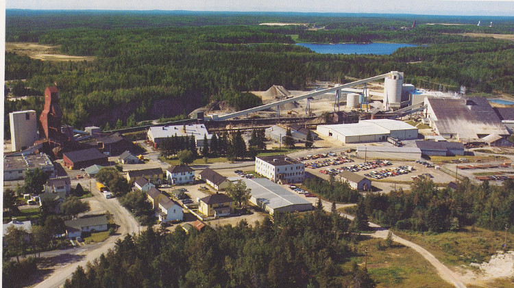
Aerial surveying has the potential to help various industries, but one area in which the technology has proven incredibly useful is in mine site and quarry reclamation design. After years of relying on either the more traditional method of using GPS or the more expensive process of employing LiDAR, project operators can now acquire aerial topography data using unmanned aerial vehicles (UAVs) and, with the modelling software now available, use this data to create reclamation areas that are well designed and relatively inexpensive.
Historically, mine operators have focused on lowering costs per cubic metre, which can blind them to opportunities to decrease costs by simply moving less dirt and using gravity to help move material at a lower cost. However, the industry must consider the post-reclamation costs of a job done poorly.
UAVs can be used to improve reclamation performance while decreasing costs. The process begins with combining high-precision GPS and aerial survey data to recreate the topography in question. Typically, if a survey begins on a Monday, the data can be processed by Wednesday, with a preliminary design completed shortly thereafter. Although UAVs cannot cover as large an area as LiDAR data can, aerial surveying has proven to be a fraction of the cost per hectare. That is not to say that there is no need for LiDAR; it remains the best option for large areas or land covered in vegetation. In mine site reclamation, however, vegetation is rarely an issue and the areas in question often lend themselves perfectly to UAV-acquired topography.
Once the data is acquired and processed, some operators use this data themselves, but more often than not, a suite of software is used to build a final design surface. The first step in this process is to virtually recreate the effect of rain to see where water accumulating on the surface will flow and ultimately where it will pool. A dragline consultant once told me, “If you want to move a lot of dirt at a low cost, quit fighting with gravity and instead use it to your advantage.” There is some impressive software out there that can take hydrologic information from the surrounding area and incorporate that data in the final surface design for the reclaimed area. By levelling to the lowest area and incorporating the surrounding hydrologic measurements into the design, mine site operators can end up with a more efficient reclamation design, minimize erosion after reclamation by mimicking the surrounding hydrology, and develop wetlands or bodies of water that are large enough to be useful for process water, livestock watering or recreation areas rather than the small deranged drainage patterns we have seen too often.
Related: Drone manufacturers are confident that demand will soon explode for their cost-effective eyes in the sky
After travelling to Australia, Indonesia, and Mongolia last fall as part of a larger group meeting with many mid- and large-tier mining companies, it became clear to me that companies are now being measured on their reclamation performance. As companies go to where the resources are, and strive to develop new mine sites, past reclamation performance is becoming a very large factor in determining if a company will obtain the required permits and licenses. In addition to licenses, public acceptance has also become such a large variable that the cost and risk associated with delays and hearings far outweigh the cost of an exceptional reclamation record. If you have done a great job in past reclamation, it speaks volumes to how the company will perform if given the permission to develop a new deposit. It is very hard to put a number on this, but if it is a matter of developing the next operation or not, the money spent doing the best possible job on your current reclamation is well worth it.
Ultimately, it is incumbent on all mine operators to not only ensure that costs are minimized from exploration to final reclamation and every step in between, but also to ensure they are doing everything possible to secure public acceptance, as each and every employee has an effect on a company’s reputation. As Benjamin Franklin said, “It takes many good deeds to build a good reputation, and only one bad one to lose it.” Nothing could be closer to the truth for the resource industry today. The tools we have now give us the opportunity to build our reputation without breaking the bank.
Kelsey Martin is the president of Martin Remote Sensing Corporation, an aerial surveying company that focuses on aerial data acquisition and design.
Got an opinion on one of our columns? Send your comments to editor@cim.org.