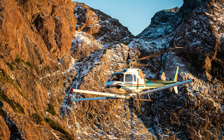
Data from Geoscience BC's survey will focus northern Vancouver Island mineral exploration. Courtesy of Precision GeoSurveys.
Geoscience BC released the results of its months-long airborne geological survey of the northern Vancouver Island region on Jan. 21 at the AME Roundup convention in Vancouver, providing new high-resolution data for mineral exploration companies interested in the region.
The data from the survey includes information on the magnetic properties of the rocks below the ground, as well as the radiometric and magnetic properties of rocks near the surface, allowing geologists to gain a better understanding of the mineralization of the area and the locations of new potential deposits. According to Geoscience BC, the survey covered an area of 6,127 square kilometres, stretching from Port McNeill in the north to Tahsis in the southwest.
There was already plenty of interest in the region, Geoscience BC vice-president of minerals Christa Pellett told CIM Magazine. “Geoscience BC had worked on northern Vancouver Island about seven years ago, back in 2012. We’d done a very similar project, an airborne magnetic survey, and received both strong community support and industry support,” she said. “When our technical guys were looking around this time last year for what we wanted to do this summer, there was strong support for doing more work on Vancouver Island.”
Interested parties wasted no time getting their hands on the data, according to Pellett. Roundup attendees were at Geoscience BC’s booth at 9 a.m. sharp ready to pick up their USB sticks with the data, and others have been downloading the data off the Geoscience BC website as well.
For 18-year mineral exploration consultant Jacques Houle, getting this data was a long time coming.
Related: Yao Cui, BC Geological Survey’s senior geomatics geologist, ditches the polygons in his innovative new model for updating digital geology
“I’ve been living and working in Vancouver Island since 2000, initially as the regional geologist for the B.C. government and then as an independent consultant after that,” he told CIM Magazine. “I’m really excited about the geology and mineral potential of Vancouver Island and I have been ever since I recognized it soon after arriving there. I’ve been advocating for regional programs there pretty much since I arrived. It’s very highly prospective for different things.”
In addition to helping companies find potential sites for new mines, the data provided by the survey could have a positive impact on the communities living in North Vancouver Island, says Houle.
“The area is covered by very thick vegetation underlayed by very thin overburden, and then it’s cut by a very extensive network of active and inactive logging roads providing access to many of the remote parts of northern Vancouver Island,” he said. “The communities there are reliant almost exclusively on resource industries, and they would love nothing better than having another resource industry – namely mining – active and developing mines in the area. So, it’s a very, very good social licence in that part of the world.”
The survey data, alongside data from the previous work done by Geoscience BC, is available online on their website, completely free of charge and free to use for anyone interested in the mineralization of Vancouver Island.
“That’s Geoscience BC’s mandate,” Pellett said. “All of our data goes into the public domain so that not only mineral exploration companies can use the data, but it’s available to communities, First Nations [and] academics to be able to use and interpret for data.”